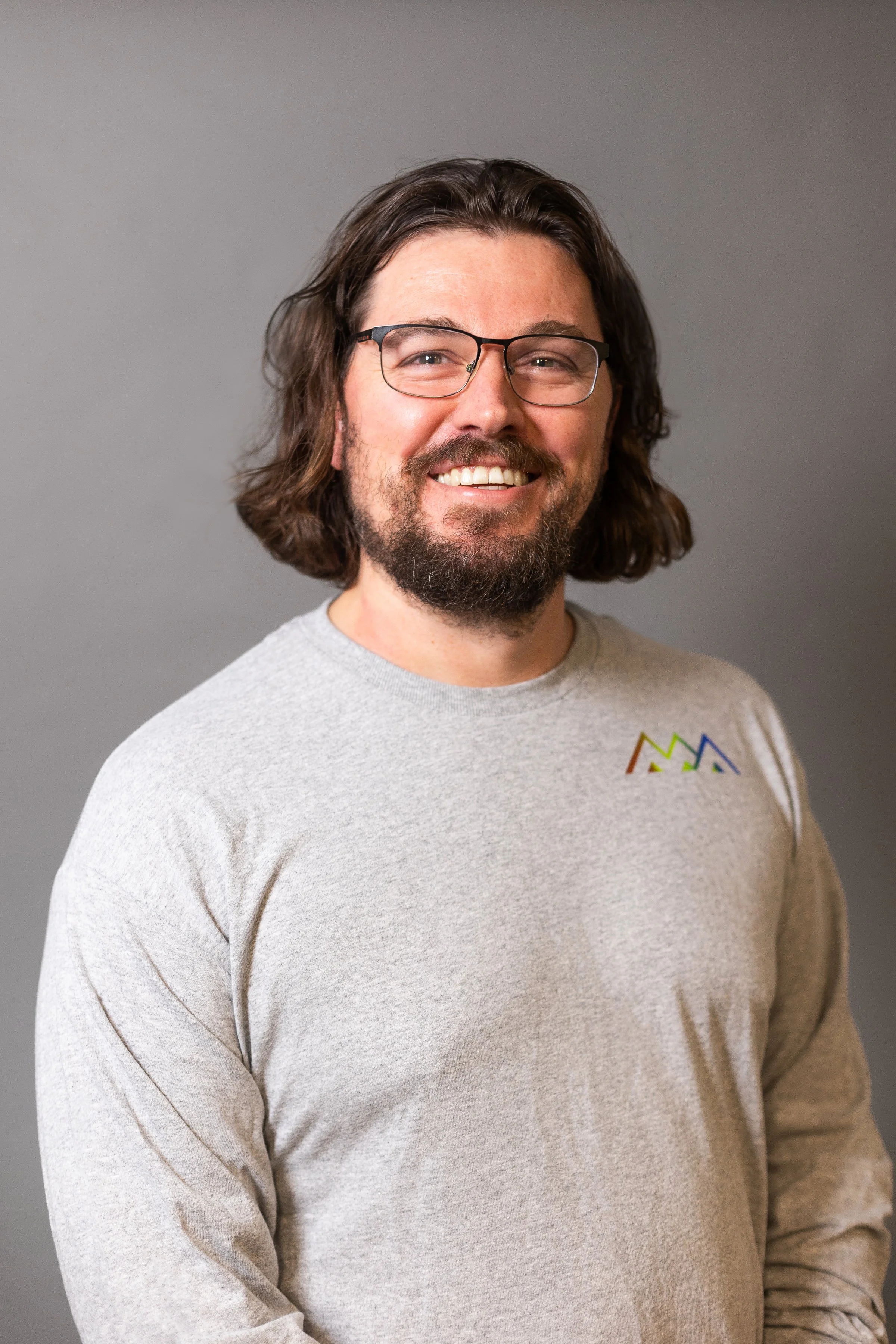
Tim Sivak, P.Geo.
Geoscientist/GIS Analyst
Tim Sivak is a Professional Geoscientist and Geographic Information Systems (GIS) Analyst at Western Water Associates with 15 years of experience in Canada. Tim has provided professional geoscience services throughout British Columbia, Alberta, Yukon, Ontario and Nunavut.
Tim is a well-rounded geoscientist, and his specialties include surficial geology, hydrogeology, and GIS. He has conducted various hydrogeological investigations, including source water protection plans, well technical assessments, water budgets, hydraulic connection studies, wastewater disposal feasibility studies, and groundwater supply feasibility assessments. He is well versed in the regulatory regimes governing drinking water supply permitting and water quality assessments for Health Authorities, and with the Water Sustainability Act as it relates to groundwater and surface water licensing. Tim has also led or provided field support for geological investigations involving project management and field supervision of drilling, surficial and bedrock geology mapping, deep well installs and testing, soil and water sampling, analysis and reporting.
Tim is also a skilled GIS analyst, having developed and implemented GIS-based models for use in various environmental applications, including assessing the potential of hydraulic connection between surface and groundwater, relative risk to groundwater supply from forestry operations, and relative risk of seawater intrusion in coastal aquifers. In this work he frequently uses Python and R for spatial and statistical analysis, and to assist with data clean-up and task automation. His graduate work included developing a GIS framework using published surface water and groundwater models to estimate the water balance for 25 watersheds on Vancouver Island.
Victoria